Gunnison Gorge
Wild and Scenic: Rafting the Untamed Beauty of the Gunnison Gorge Wilderness
The call of the wild takes on a whole new meaning when it comes to rafting the Gunnison Gorge Wilderness. This isn't your typical whitewater trip. Here, amidst the remote canyons and untamed wilderness of western Colorado, lies a multi-day adventure that pushes your limits and leaves you breathless with awe.
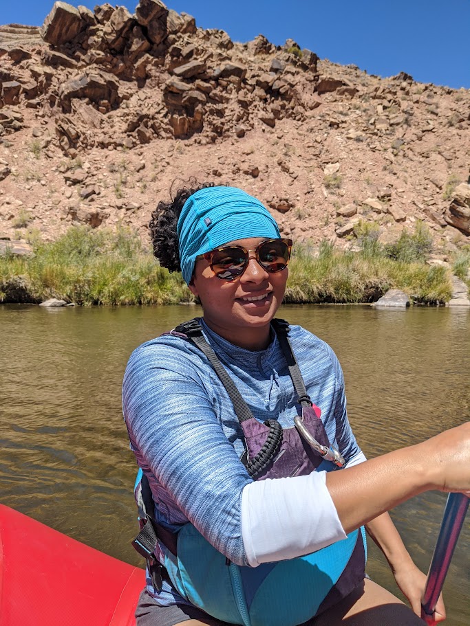
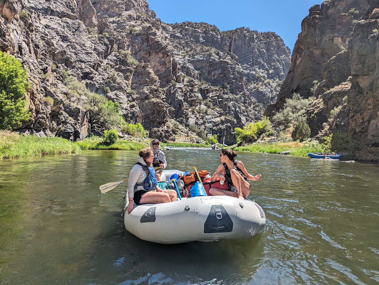
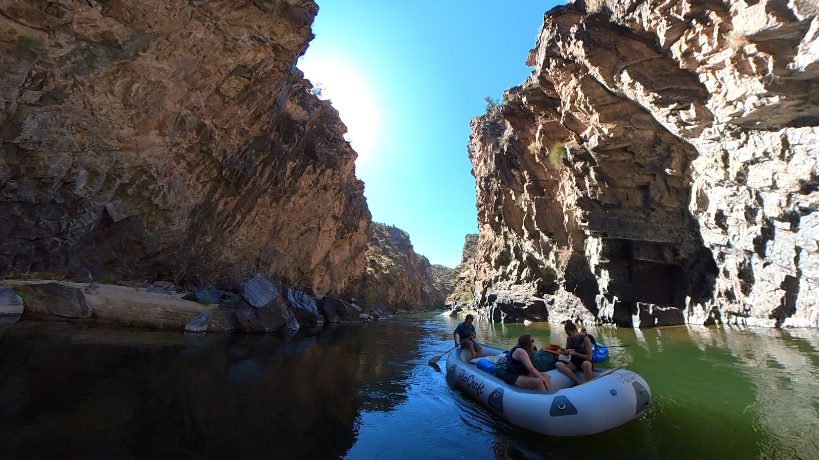
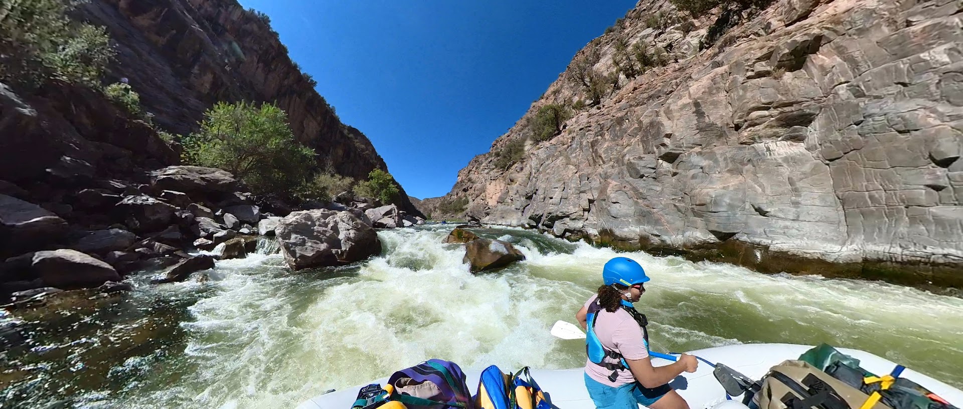
Unlike the adrenaline-packed, single-day runs of the Gunnison Gorge, a wilderness rafting trip delves deeper. You'll spend multiple days navigating the Class III-IV rapids, with plenty of time to soak in the surrounding majesty. Imagine waking up to the gurgle of the river, the crisp mountain air filling your lungs, and the anticipation of another day exploring this hidden gem.
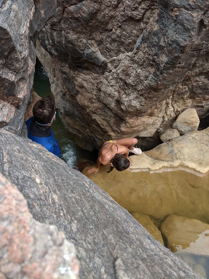
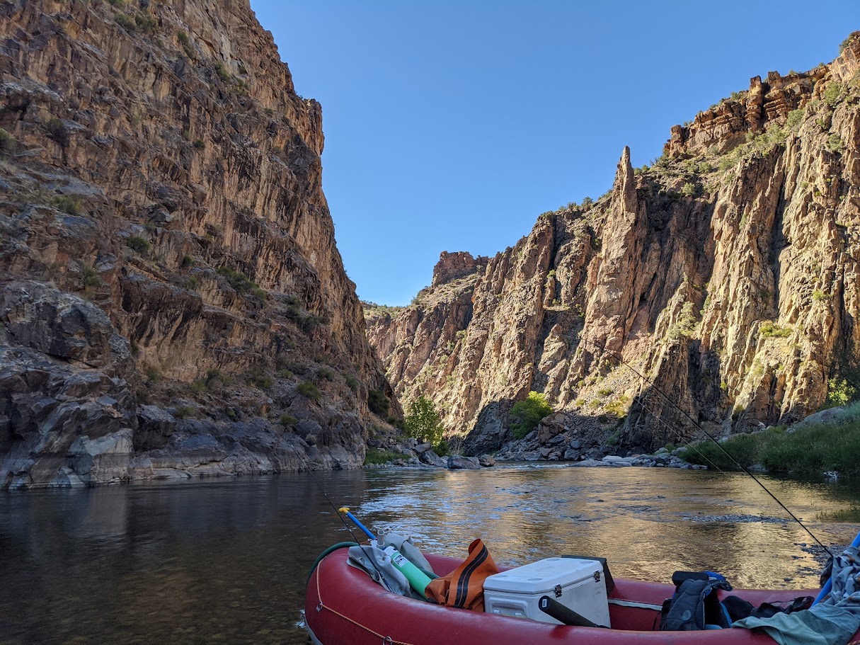
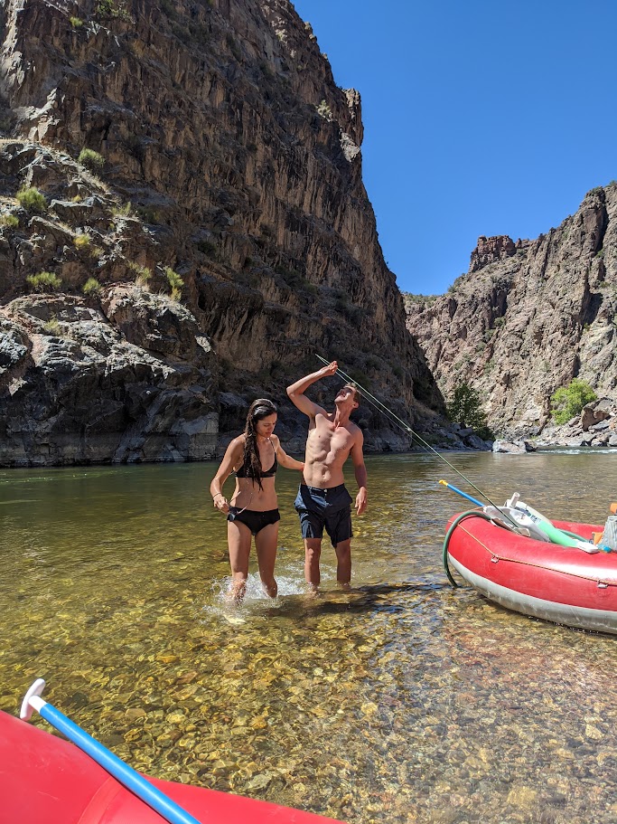
The Gunnison Gorge Wilderness is a tapestry woven with dramatic landscapes. Towering red sandstone cliffs rise from the emerald green river, while lush vegetation clings to the canyon walls. Keep your eyes peeled for mule deer grazing on the banks, bighorn sheep scaling the cliffs, and the ever-present possibility of spotting a golden eagle soaring overhead. This isn't just a whitewater adventure; it's a wildlife safari and a geological marvel all rolled into one.
Rafting the Gunnison Gorge Wilderness requires a respect for the pristine environment. The limited number of permits issued ensures minimal impact on this fragile ecosystem. Most outfitters are committed to Leave No Trace principles, so you can be sure you're experiencing this wilderness responsibly.
Wilderness rafting trips require meticulous planning and advanced booking. Outfitters with expertise in wilderness navigation and river safety are crucial. Be prepared for a physically demanding experience – you'll likely be helping with camp chores and navigating some sections on foot. The reward? An unparalleled connection with nature and a sense of accomplishment that comes with conquering a true wilderness adventure.
Rafting the Gunnison Gorge Wilderness isn't just about the rapids or the scenery. It's about disconnecting from the everyday and reconnecting with yourself and the natural world. It's a chance to test your mettle, appreciate the raw beauty of the wilderness, and forge memories that will last a lifetime. So, if you're an adventurer seeking a challenge beyond the ordinary, the Gunnison Gorge Wilderness awaits. Just remember, this isn't a trip for the faint of heart, but for those who yearn for an experience that goes beyond the mainstream, it's an odyssey unlike any other.
Quick Facts
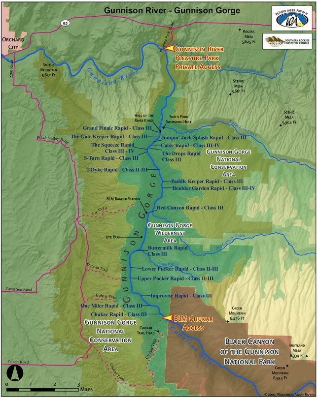
- Section Length: 10 miles
- Diffculty: Class II-IV
- Typical Season: Mid June-Mid September
- Typical Peak: Dam released
- My ideal water flows for rafting: 700-5000 CFS
Notable Rapids
- The Squeeze
- Cable
Favorite Camps
- Ute 2
- T-Dyke
A Wild Past: Unveiling the History of the Gunnison Gorge Wilderness
The Gunnison Gorge Wilderness, nestled within the Black Canyon National Park and Gunnison Gorge National Conservation Area, boasts a rich history intertwined with human exploration, geological wonders, and ultimately, a growing appreciation for wilderness preservation. Let's delve into the fascinating timeline of this remarkable landscape.
For millennia, the Gunnison Gorge served as a home and hunting ground for various indigenous tribes. Archaeological evidence suggests Ute people utilized the area for seasonal hunting and resource gathering [1]. Their deep connection to the land laid the foundation for the respect for wilderness that would come later.
European exploration arrived in the 18th and 19th centuries. Spanish explorers likely ventured into the region, but detailed accounts remain scarce [2]. Formal exploration began in the mid-19th century with government expeditions charting the Colorado River. John Wesley Powell's historic 1869 voyage down the Green and Colorado Rivers likely passed through the Gunnison Gorge, highlighting the river's treacherous rapids and dramatic scenery [2].
The late 19th and early 20th centuries saw the rise of mining and ranching activities near the Gunnison Gorge. Prospectors explored the area for gold, silver, and other minerals, leaving behind remnants of their endeavors [3]. Ranching families also homesteaded the land, their presence a testament to the region's unique ecosystem. However, these activities also posed a threat to the pristine nature of the gorge.
The tide began to turn in the mid-20th century. Growing awareness of the importance of wilderness preservation led to the establishment of Black Canyon National Monument in 1933 [4]. This initial protection paved the way for further conservation efforts. In 1999, the Black Canyon of the Gunnison National Park and Gunnison Gorge National Conservation Area Act was passed. This act significantly expanded protected lands and designated the Gunnison Gorge Wilderness, recognizing its unique ecological and recreational value [4].
Today, the Gunnison Gorge Wilderness stands as a testament to the ongoing conversation about balancing human interaction with wilderness preservation. Management practices focus on maintaining the ecological integrity of the area while allowing for responsible recreational activities like wilderness rafting and hiking.
Sources
- [1]:Gunnison Gorge Wilderness - Uncompahgre Field Office - BLM (.gov): https://www.blm.gov/visit/gunnison-gorge-wilderness
- [2]:Black Canyon of the Gunnison National Park - NPS (.gov): http://npshistory.com/publications/blca/index.htm
- [3]:Mineral Resources of the Gunnison Gorge Wilderness Study Area, Montrose and Delta Counties, Colorado - USGS (.gov): https://waterdata.usgs.gov/monitoring-location/09128000/
- [4]:Black Canyon of the Gunnison National Park & Curecanti National Recreation Area : https://www.nps.gov/blca/planyourvisit/index.htm
A Million Years in the Making: Unveiling the Gunnison Gorge Wilderness's Geologic Story
The Gunnison Gorge Wilderness, a crown jewel within Colorado's Black Canyon National Park and Gunnison Gorge National Conservation Area, isn't just a landscape of dramatic beauty; it's an open book chronicling millions of years of geological history. From ancient seas to relentless rivers, the gorge's story is etched in the towering cliffs, sculpted canyons, and exposed rock formations.
The story begins deep in time, roughly 1.7 billion years ago, with the formation of the metamorphic and igneous rocks that form the basement complex underlying the Gunnison Gorge [1]. These gneisses and schists, twisted and hardened by immense heat and pressure, provide the solid foundation upon which the younger sedimentary layers were deposited.
Fast forward to the Paleozoic Era, roughly 541 million to 252 million years ago. Vast seas repeatedly covered the region. Layers of sediment, including limestones, dolomites, sandstones, and shales, accumulated on the seabed [1]. These sedimentary layers, deposited over millions of years, would later become the dramatic cliffs and colorful rock formations that define the canyon walls.
A pivotal moment arrived around 70 million years ago during the Laramide Orogeny, a period of intense mountain building. Powerful tectonic forces pushed the Earth's crust upwards, creating the ancestral Rocky Mountains [2]. The ancient metamorphic rocks and overlying sedimentary layers were compressed, tilted, and uplifted, forming the initial framework of the Gunnison Uplift.
The relentless forces of erosion began to reshape the landscape. Over millions of years, glaciers, wind, and especially rivers carved away at the newly formed mountains. The mighty Gunnison River, carving its path southward, relentlessly cut through the uplifted rocks. This tireless sculptor, estimated to be around 2 million years old [2], is the primary architect of the dramatic Gunnison Gorge we see today.
The geologic story isn't complete without mentioning volcanic activity. Around 20 million years ago, during the Miocene Epoch, volcanic eruptions spewed ash and cinders across the landscape. Evidence of this volcanic activity can be seen in some of the colorful rock formations within the Gunnison Gorge [3].
Geologic processes continue to shape the Gunnison Gorge Wilderness even today. Uplift, erosion, and the relentless flow of the Gunnison River all contribute to the ongoing evolution of this awe-inspiring landscape.
Sources
- [1]:Geology of the Black Canyon of the Gunnison National Park and Gunnison Gorge National Recreation Area, western Colorado: https://www.nps.gov/articles/nps-geodiversity-atlas-black-canyon-of-the-gunnison.htm
- [2]:Black Canyon of the Gunnison National Park - Geologic Formations: https://www.nps.gov/articles/nps-geodiversity-atlas-black-canyon-of-the-gunnison.htm
- [3]:Gunnison Gorge Wilderness | Uncompahgre Field Office: https://www.blm.gov/visit/gunnison-gorge-wilderness
Trips Run: Private trips
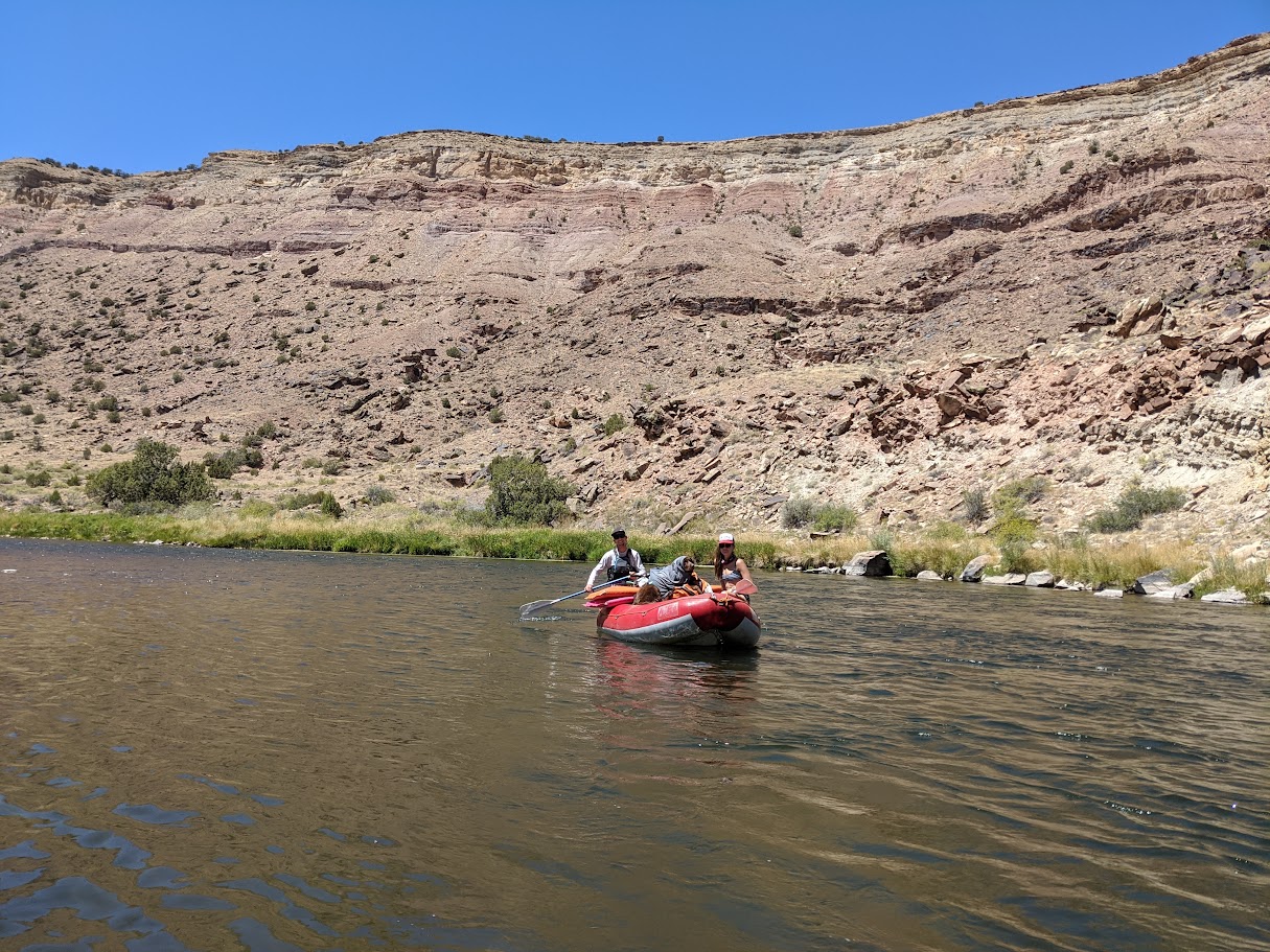
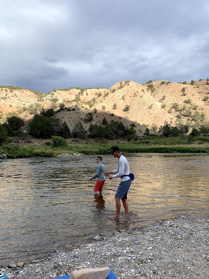
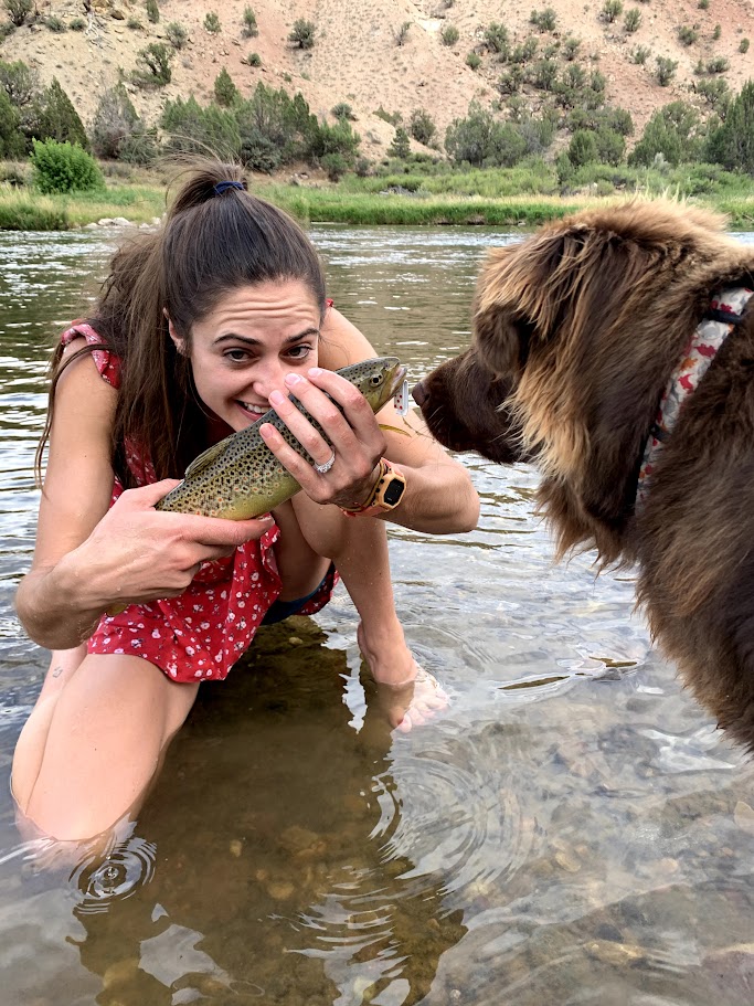
The Gunnison Gorge wilderness area is a great 3-day/overnight trip very close to Delta, CO. Since the water is dam released, the season is very run and can be run into the fall. Fun whitewater, great camps and amaazing fishing make this trip one we have tried to do every year since we started coming down.
Unless the dam is releasing do to high water levels in the lakes, this run is typically released at from 700-1000 during the summer and early fall months.
One thing that deters many rafters is the work involved in getting gear and boats down to the water. Private boaters must hike in their gear about a mile down a descent gradient trail, and unless you have rented pack mules, involves a few trips up and down to the river to get all the gear down to the water side.
If you are interested in running this section, I recommend giving the Gunnison Pleasure Park a call. These folks are great to work with and can also run shuttle for your vechiles to the take-out.
September 2019
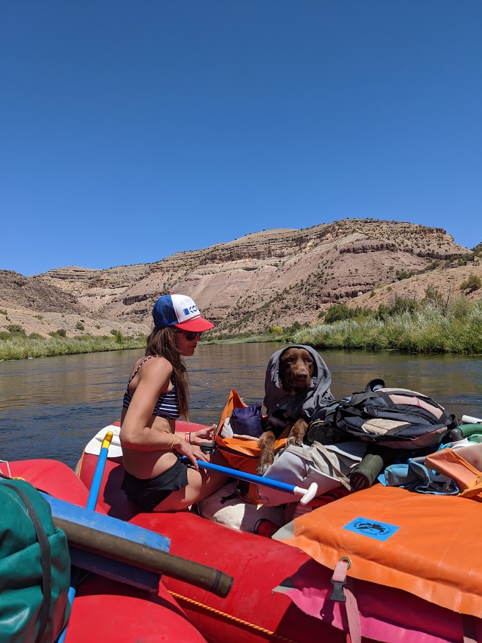
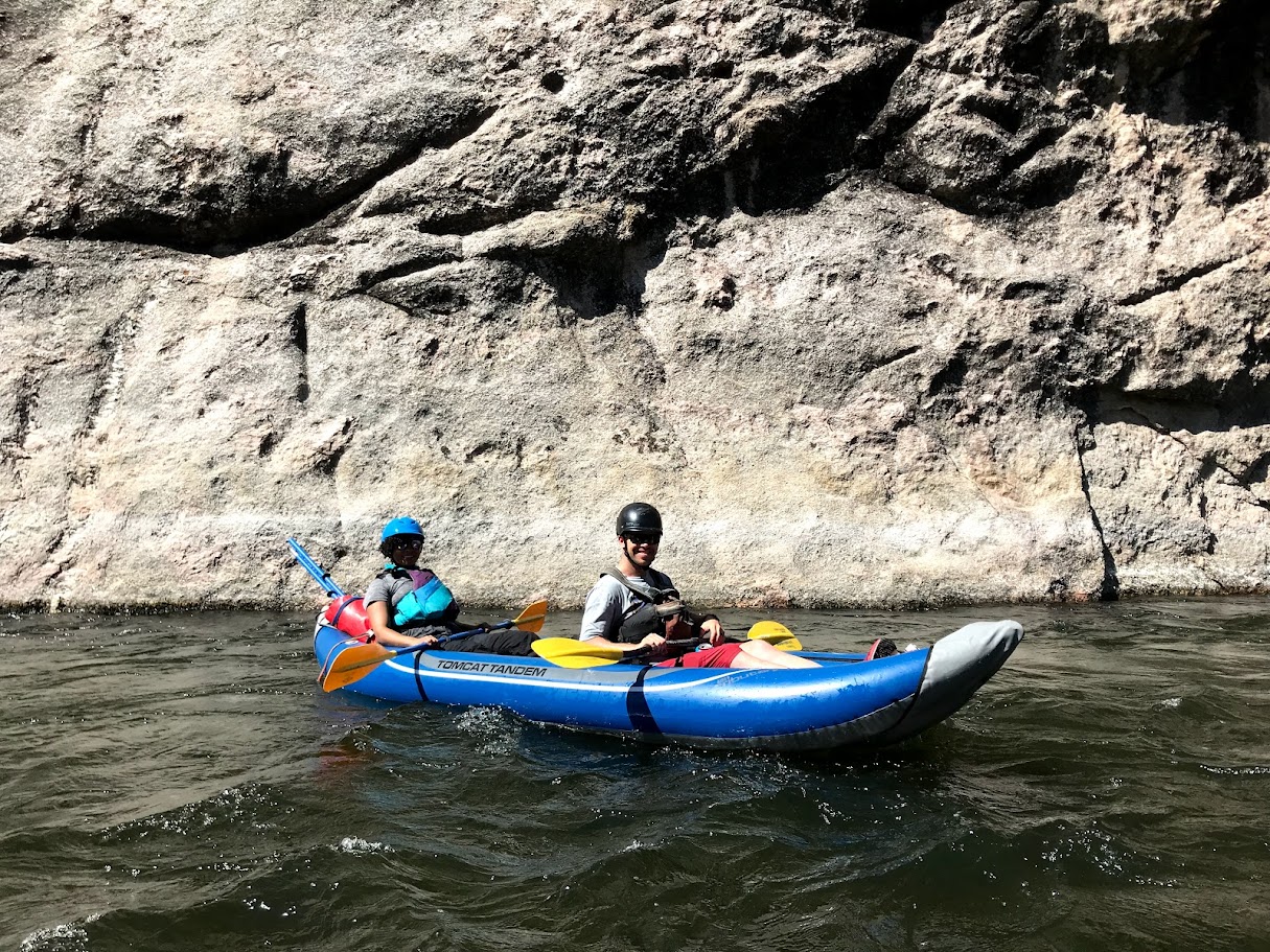
Our friends Wade and Hannah took us down for our first trip in fall of 2019. It was a small crew that round with just Amanda, Wade, Hannah, myself and the new pup Pancho. We took down a borrowed doudble ducky and 10 foot raft for this trip, and flows were about 800 CFS.
We camped at Ute 1, and T-Dyke for our camps on this trip. Is one also was the trip were Wade fell into the water in his overalls and down jacket in one of the most slow motion falls I've seen.
August 2020
In late summer of 2020 we returned again with the exact same crew, and this time brought two 10 foot rafts for the trip. Flows were very similar to the year before, around 750 CFS.
We camped at Ute 2 and T-Dyke for our two nights on the river. This trip seems to be the one a few people don't remeber for some reason, but I do have it logged down and Pancho is larger in the picutres, so I guess it did happen.
August 2023
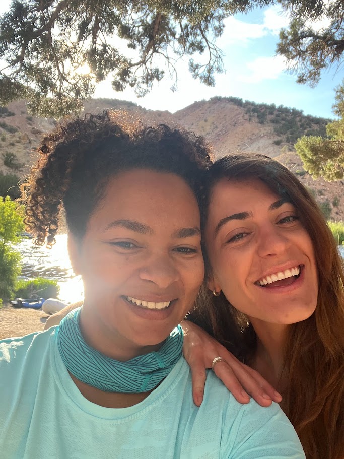
Our friend Hannah had just graduated law school and this trip was a celebration of getting through that. The crew this time was Wade, Hannah, Amanda, Jenna, Claire and myself. We had two rafts one, 13ft one 14ft and pack raft for this outting, and flows were around 730 CFS.
We camped at Ute 2 and T-Dyke for the two nights in the canyon and the accompaning video in the video tabs is from that trip. Is trip can be remembered as the one Wade got hooked on.
Current Flow Gunnison River Below Gunnison Tunnel, CO
River Map
2019
Amanda and Josh Double Duck
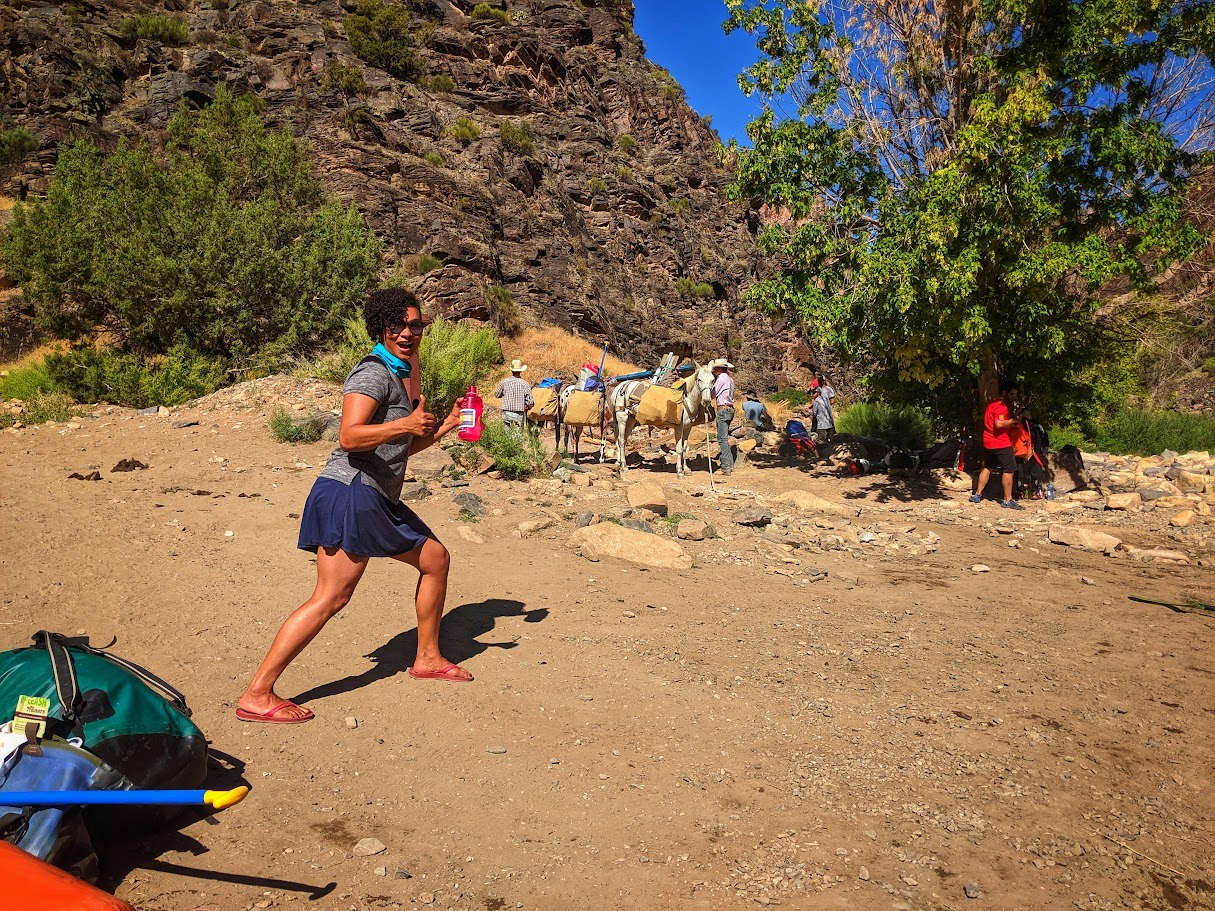
Gotta love how much the mules save your back
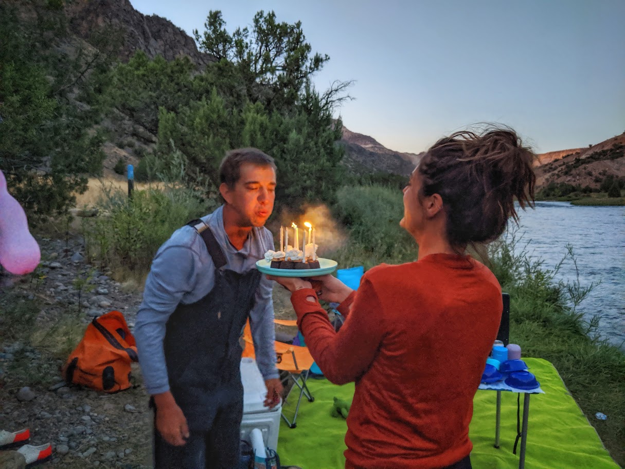
Wade blowing out his birthday cake, pre-swim
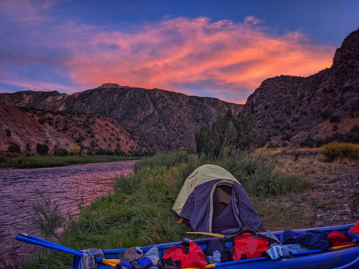
A wonderful sunset on the river
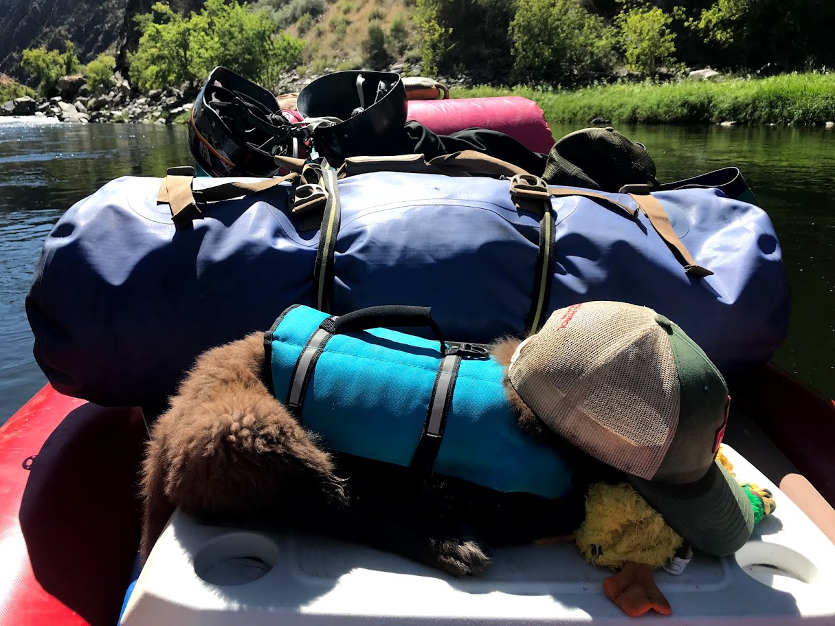
Pancho the puppy catching some Zs
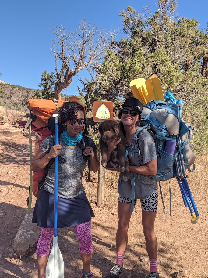
Amanda, Hannah and Pancho getting ready for the hike down
The crew getting ready to head out
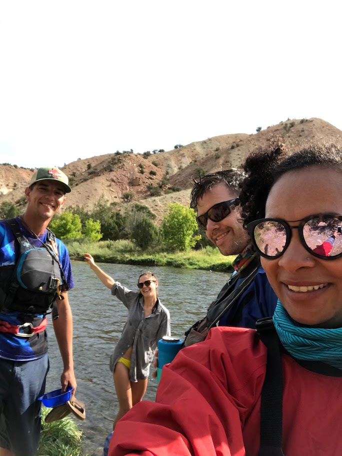
Selfie on the Smith Fork
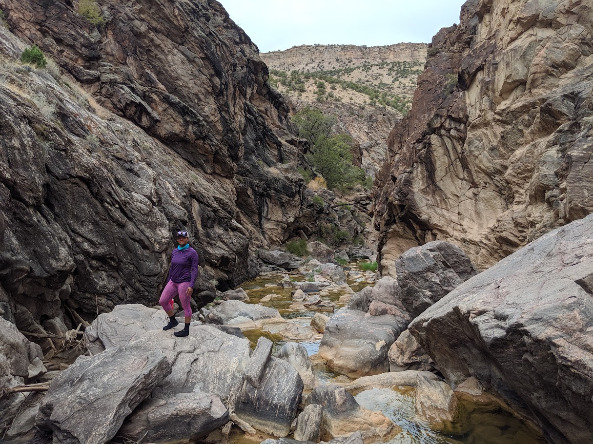
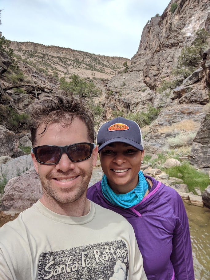
Amanda at the Smith Fork